
01
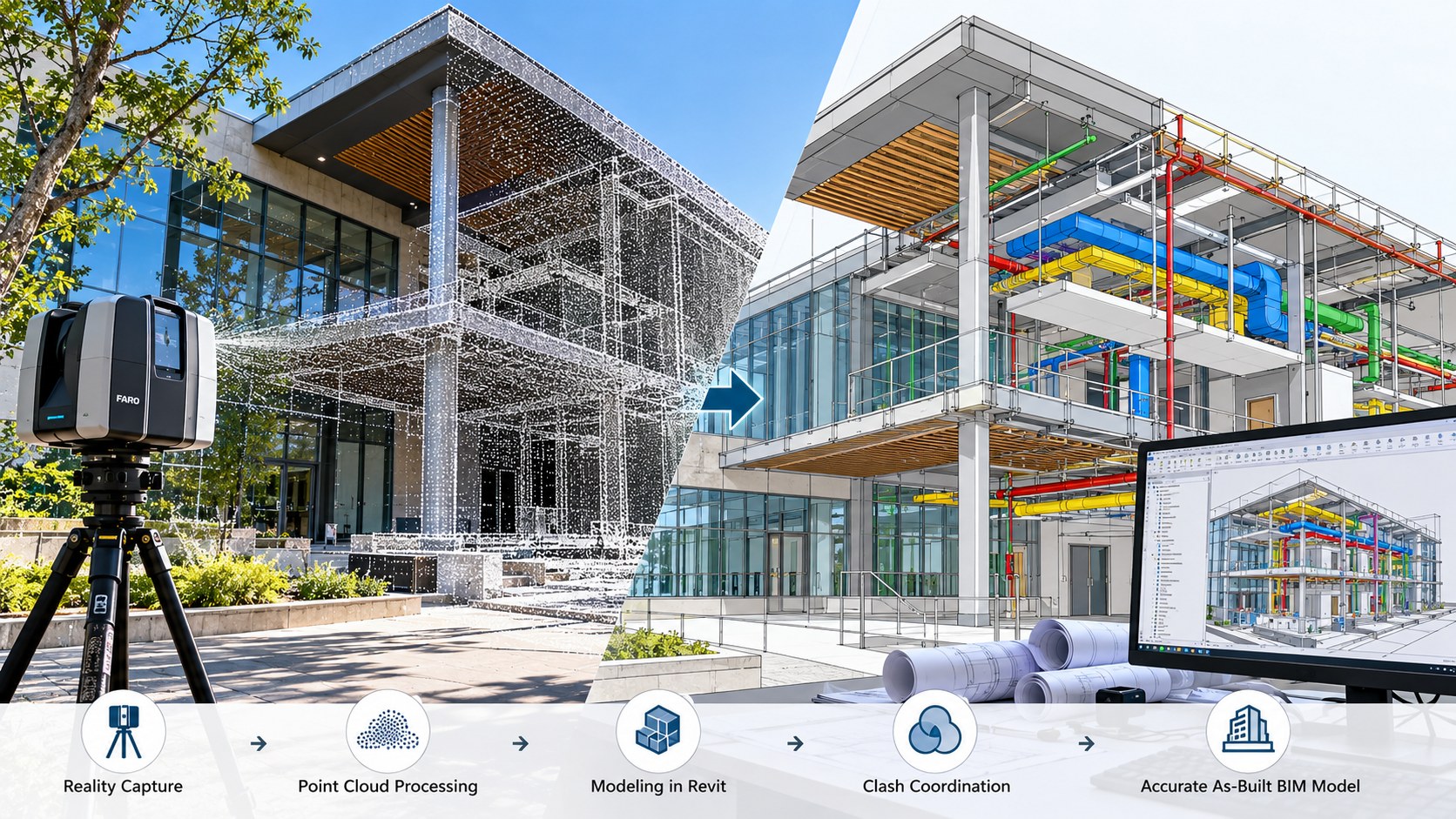
Scan to BIM
Point-cloud-to-BIM modelling for existing buildings, coordination, refurbishment and asset information.
Our services
Choose the production workflow that fits your project, or combine services into one coordinated delivery package.

Point-cloud-to-BIM modelling for existing buildings, coordination, refurbishment and asset information.
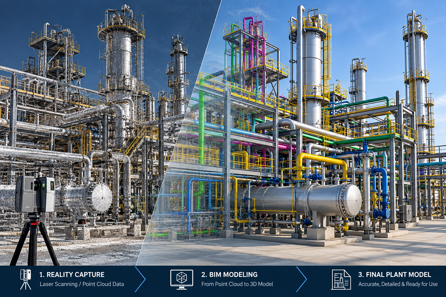
Accurate 2D CAD outputs from point clouds and survey information, organised for practical downstream use.
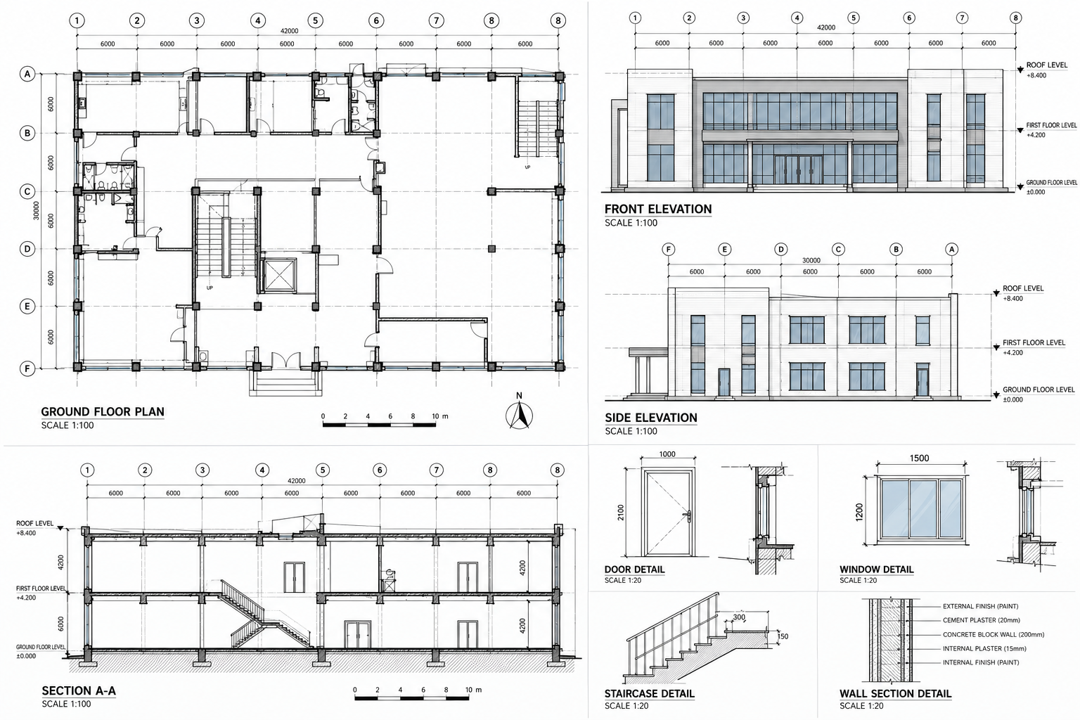
Plans, elevations, sections and related measured documentation for existing buildings and assets.

Aerial LiDAR processing, mobile mapping, photogrammetry and geospatial data production aligned to your project requirements.