
Service 01
Scan to BIM
Turn point clouds and reality capture into structured BIM models that support design, coordination, documentation and asset workflows.
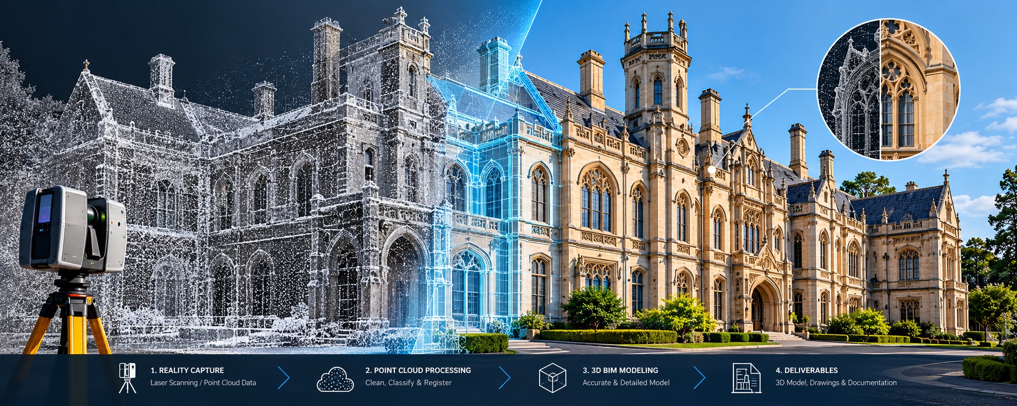
From captured conditions to usable BIM information.
We model existing conditions from laser scans and point clouds with a clear focus on geometry, organisation and project-specific requirements. Scope can be aligned to the required LOD, software environment, naming conventions and deliverable structure.
Typical inputs
Point clouds & survey data
RCP/RCS, LGSX and other supported reality-capture data, plus reference drawings and specifications.
Typical outputs
Structured BIM models
Revit-based models and coordinated project information aligned to the agreed modelling scope.
What we can cover
- Architectural and structural elements
- MEP elements where included in scope
- Existing-condition modelling and documentation
- LOD and naming standards defined per project
- QA review before delivery