01
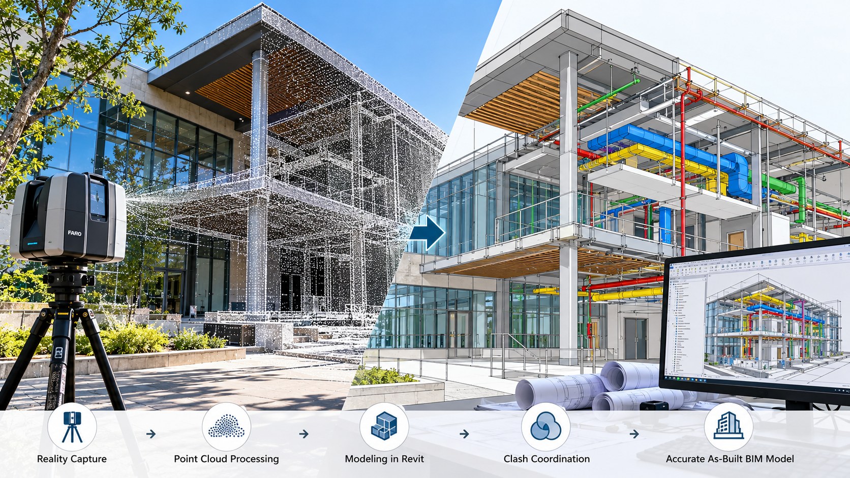
Scan to BIM
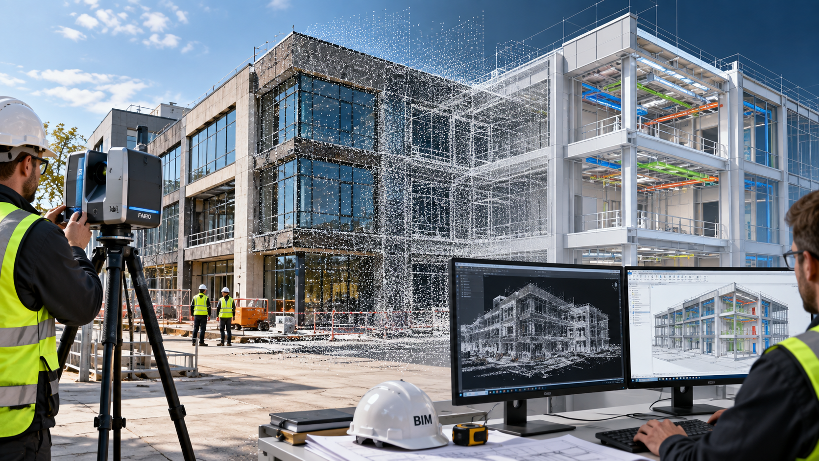
Transform point clouds and reality capture into structured BIM models for design, coordination and asset documentation.
Rebuild Geospatial delivers precise Scan to BIM, Scan to CAD and measured building drawings for architects, engineers, surveyors and asset teams worldwide.
What we do
We bridge survey data and design documentation with disciplined modelling, drafting and quality assurance.
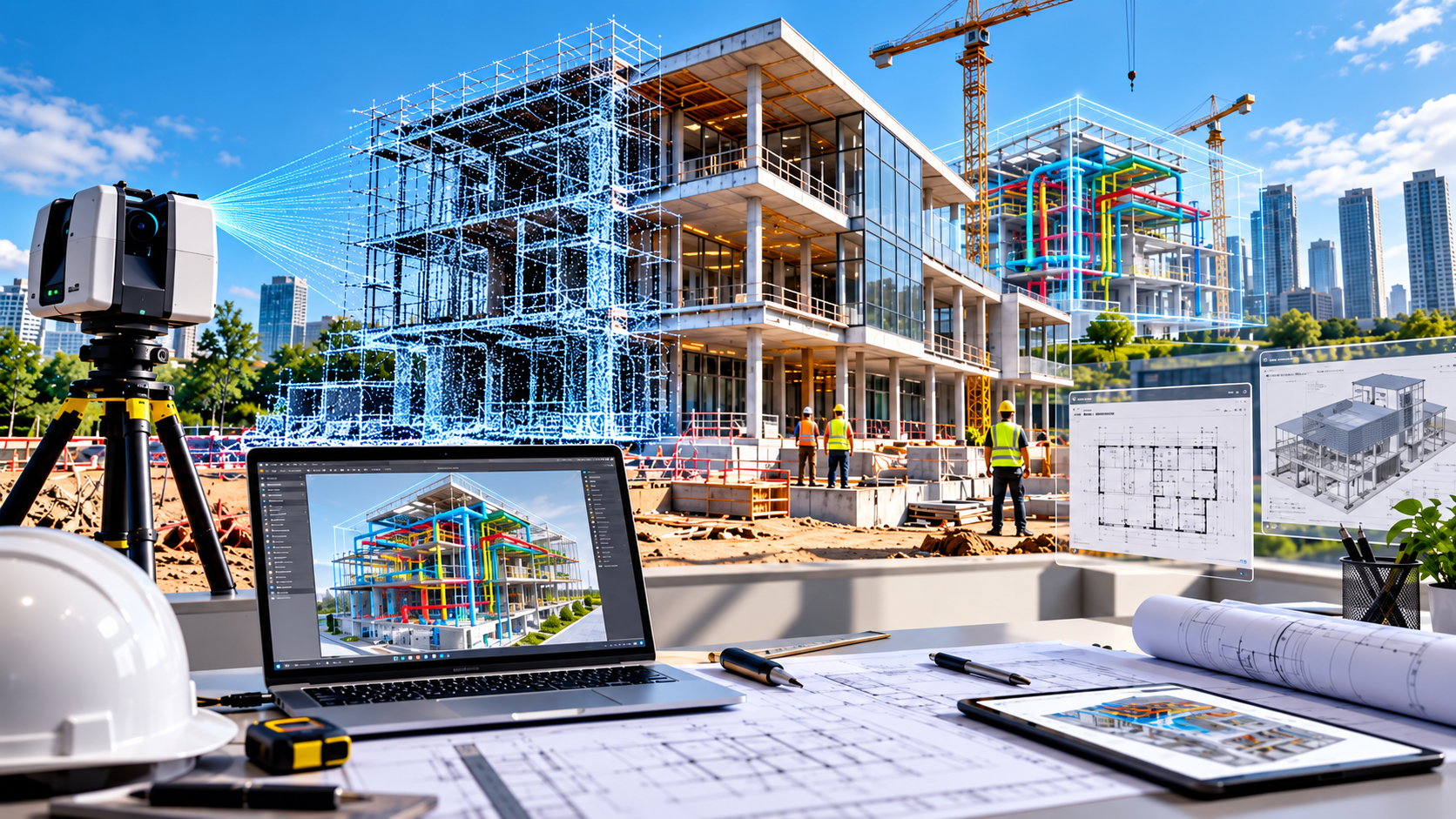
Transform point clouds and reality capture into structured BIM models for design, coordination and asset documentation.
Create accurate 2D CAD drawings and technical documentation from point clouds, survey data and existing information.
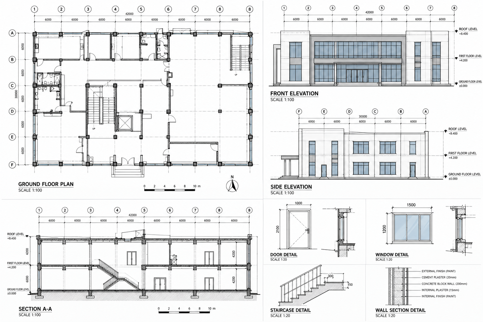
Produce clear floor plans, elevations, sections, roof plans and measured building documentation for existing assets.
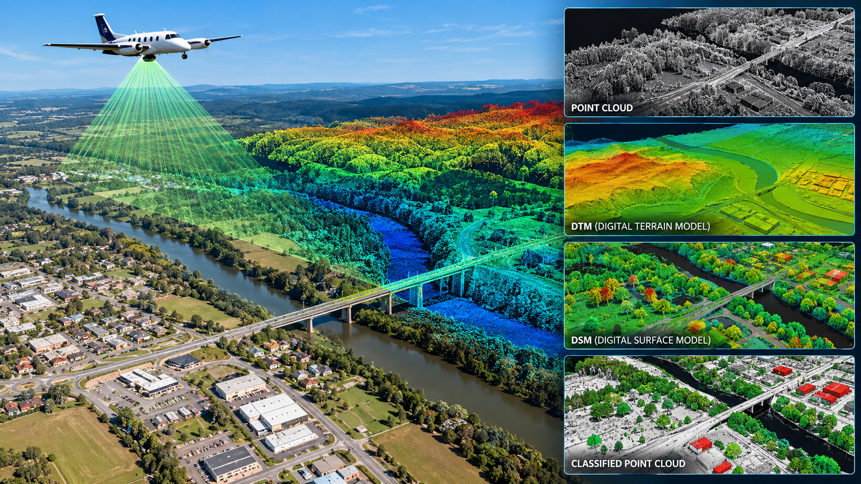
Aerial LiDAR, mobile mapping, photogrammetry and geospatial processing for informed decisions.
Industries

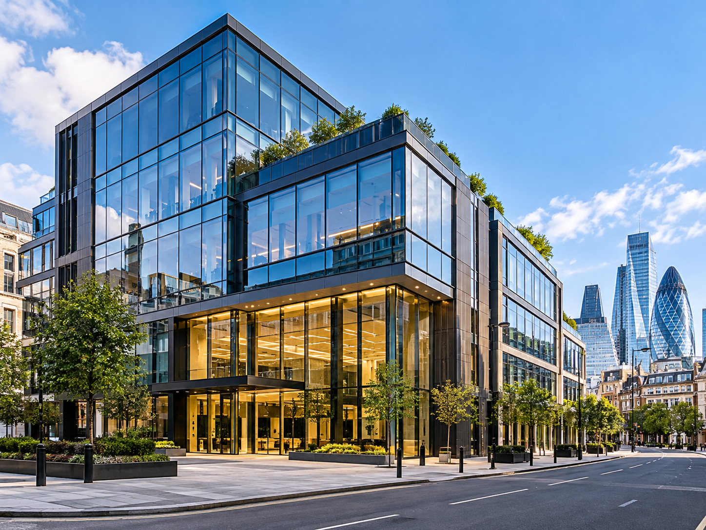
Measured building plans, Scan to BIM and coordinated CAD drawings to support design and refurbishment.

Accurate digital information that supports planning, construction coordination, as-built documentation and delivery.
Point-cloud classification, feature extraction and model-ready CAD/BIM information from survey datasets.

Careful measured information for complex, historic and irregular buildings and existing assets.

Reliable digital asset information to support maintenance and lifecycle decisions.

Digital modelling and technical documentation for plant systems, transport corridors and infrastructure assets.
Delivery approach
Our workflow is designed to reduce ambiguity, surface requirements early and keep every deliverable aligned to the agreed scope.
We review point clouds, drawings, specifications, LOD requirements, naming conventions and delivery formats.
Our modelling and drafting team builds the required outputs using a controlled, documented production workflow.
We run geometry, completeness and format checks before the package moves to final review.
Receive organised project files with responsive communication for comments, revisions and handover.
Why Rebuild
We combine technical production discipline with commercial responsiveness, making it easier to move from captured conditions to usable project information.
Have a project in mind?
Share your point cloud, drawings or project brief and we’ll help define the most practical workflow and output.